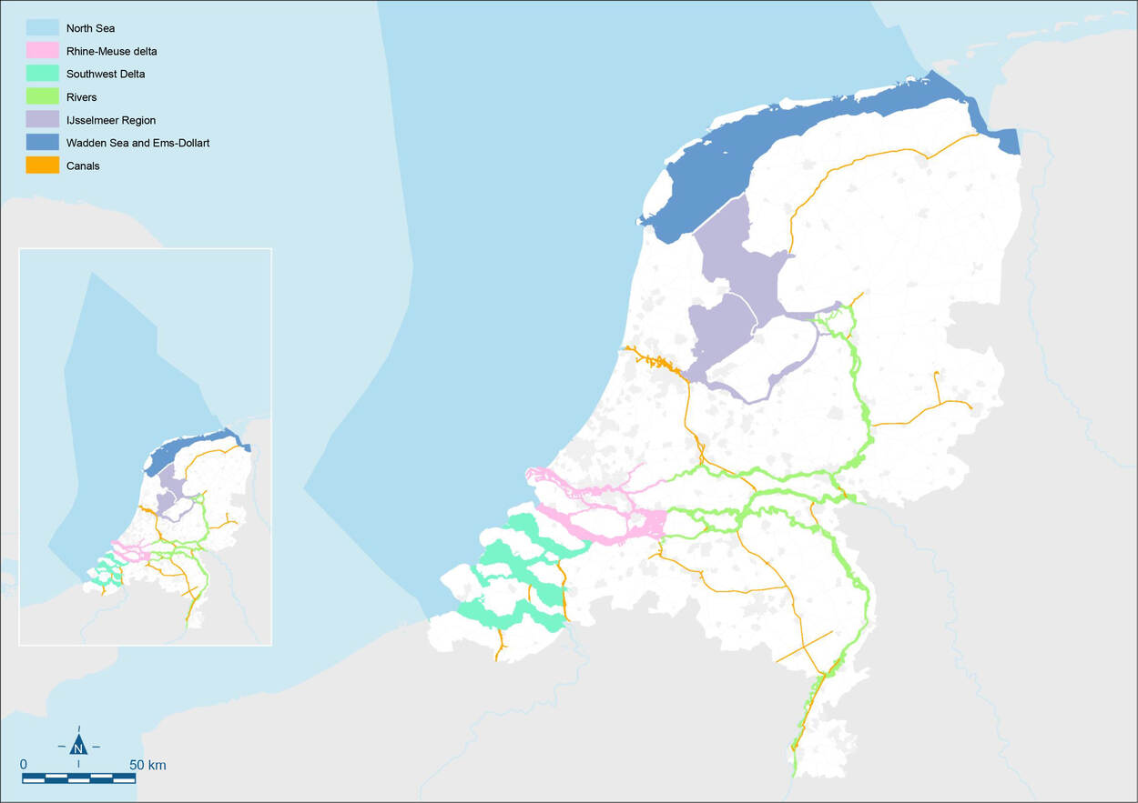
An integrated approach to national and regional challenges requires a specific approach to each area. Against this background, the NWP describes area-based elaborations for the national waters. These pertain to the North Sea, the Southwest Delta, the Rhine-Meuse delta, the major rivers, the IJsselmeer region, the Wadden Sea and Ems-Dollart, and the canals managed by the national government (see figure below). These area-based elaborations provide insight into the policy and management of the individual water systems in the period 2022-2027. Below we briefly describe the various areas and explain their policy and management.
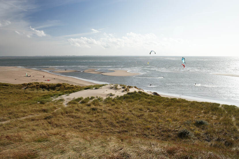
North Sea
The North Sea is a valuable and vulnerable ecosystem that is both shallow and rich in nutrients. This makes the North Sea important for both animals under water (marine mammals, fish, benthos) and animals above water (birds). With the North Sea Programme, the national government establishes the frameworks for spatial use of the North Sea. The focus is on wind energy, nature development (increasing biodiversity), sustainable fisheries and space for shipping. The Marine Strategy Framework Directive sets out measures for the environmental status needed to improve the North Sea.
Southwest Delta
The Southwest Delta comprises such waters as the Westerschelde, Oosterschelde, Grevelingen and Volkerak-Zoommeer. All of them have been designated Natura 2000 areas and are important for many different bird species. The Southwest Delta 2050 Area Agenda links the targets and challenges for the Delta Programme (flood risk management, freshwater and spatial adaptation), ecological quality and the regional economy for the large water bodies.
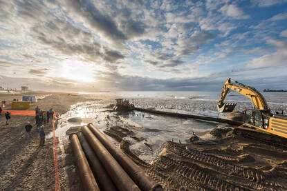
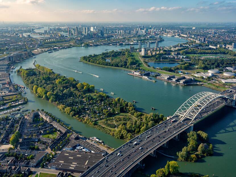
Rhine-Meuse delta
The Rhine-Meuse delta is where the rivers Rhine and Meuse converge and continue through the Haringvliet sluices and the Nieuwe Waterweg to the North Sea. The northern part consists of densely populated urban areas. The southern part (Biesbosch, Hollandsch Diep and Haringvliet) is focused more on nature, agriculture and recreation. Policy in the Rhine-Meuse delta mainly concerns protection against the sea and high river discharges, but also development of the tidal nature, properly connected ports and the availability of sufficient freshwater. Large parts of the waters in the area have been designated Natura 2000 areas.
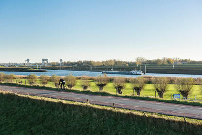
"Together with different parties (municipal councils and project developers) we decided to tackle dykes together with new construction projects, in order to get it right all at the same time. As a result, flood risk management in the area is in order for the time being.”
Co Verdaas (chairman of the Rivierenland water authority board and professor of area development at TU Delft)
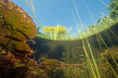
The rivers
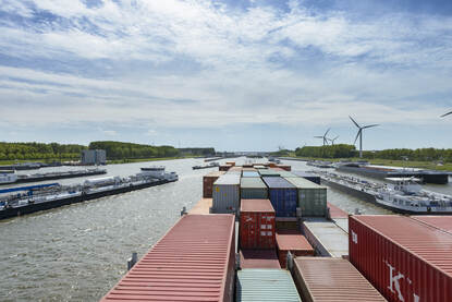
The major rivers, the Rhine branches (Waal, Nederrijn-Lek and IJssel) and the Meuse carry off high water, ice and sediment. They also supply water to large parts of our country. In addition, the area around the major rivers is very valuable for spatial quality and nature. Many of the floodplains have been designated Natura 2000 areas. In the Integrated River Management programme (IRM), we are working on an integrated approach to related challenges in the area around the major rivers. This includes flood risk management, navigability for shipping, improvement of the water quality and nature, and sustainable freshwater supplies.
IJsselmeer Region
With a surface area of around 2,000 km2, the IJsselmeer Region is the largest lake area in northwestern Europe. As our nation's water buffer, it plays a key role in water management and freshwater supplies in the north of our country. Large parts of the lakes and riparian areas have been designated Natura 2000 areas. Policy in the IJsselmeer Region is aimed at a sustainable and robust ecosystem, flood risk management, freshwater supplies, the generation of sustainable energy with respect for the IJsselmeer Region's special value, and fast and safe shipping. A coherent set of measures seeks to make the water system more robust and strike an efficient balance between designated uses.
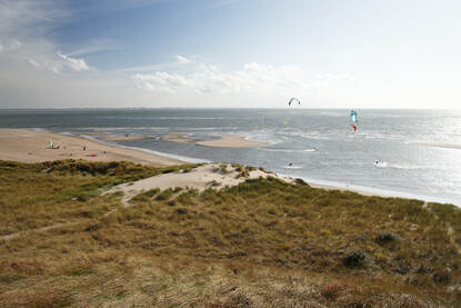
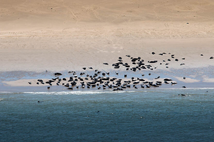
Wadden Sea and Ems-Dollart
A UNESCO World Heritage site, the international Wadden Sea not only forms the largest continuous system of tidal sand flats in the world, but also the largest continuous nature area in Western Europe. The Wadden Sea and the Ems-Dollart, the dune areas on the islands and the North Sea coastal zone: they are all Natura 2000 areas. At the same time, the Wadden Sea and Ems-Dollart have great economic and recreational value. As a result, the main objectives include both the long-term protection and development of the Wadden Sea as a nature area and the preservation of its unique open landscape. In the Agenda for the Wadden Region 2050, government authorities, nature organisations, fisheries organisations and local ports have determined a joint course.
Canals
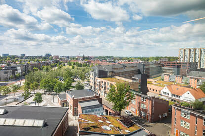
Canals were originally constructed for shipping. They have also been important for dozens of years for water management and other functions, such as drinking water, nature, recreation, industry and agriculture and horticulture. Canals play an important role in the safety, liveability and accessibility of the Netherlands. Many spatial developments are going on around these canals, including urban expansion, but there is no separate area policy for canals. However, there are region-specific circumstances that affect canals, such as in the area around the Amsterdam-Rhine Canal and the North Sea Canal, which face issues of spatial pressure and salinisation.
Management by Rijkswaterstaat
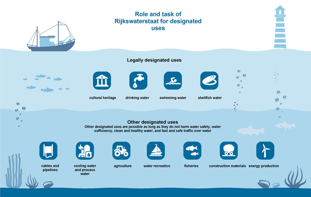
Rijkswaterstaat's most important challenge is and remains the performance of its core tasks in the field of water: ensuring a sustainable living environment (overarching), flood risk management, sufficient water, clean and healthy water, and fast and safe shipping traffic. In addition, Rijkswaterstaat plays a formal role in the legally designated uses for water, such as drinking water (see infographic below).
By performing its core tasks, Rijkswaterstaat creates the preconditions for the different designated and other functions of the national waters.
Management of large waters is also partly area-specific. Rijkswaterstaat shapes its collaboration with the surrounding area through area agendas or major projects such as IRM, Programmatic Approach to Major Waters and the Water Framework Directive.